Vlaamse Waterweg
Safe and compliant on the water
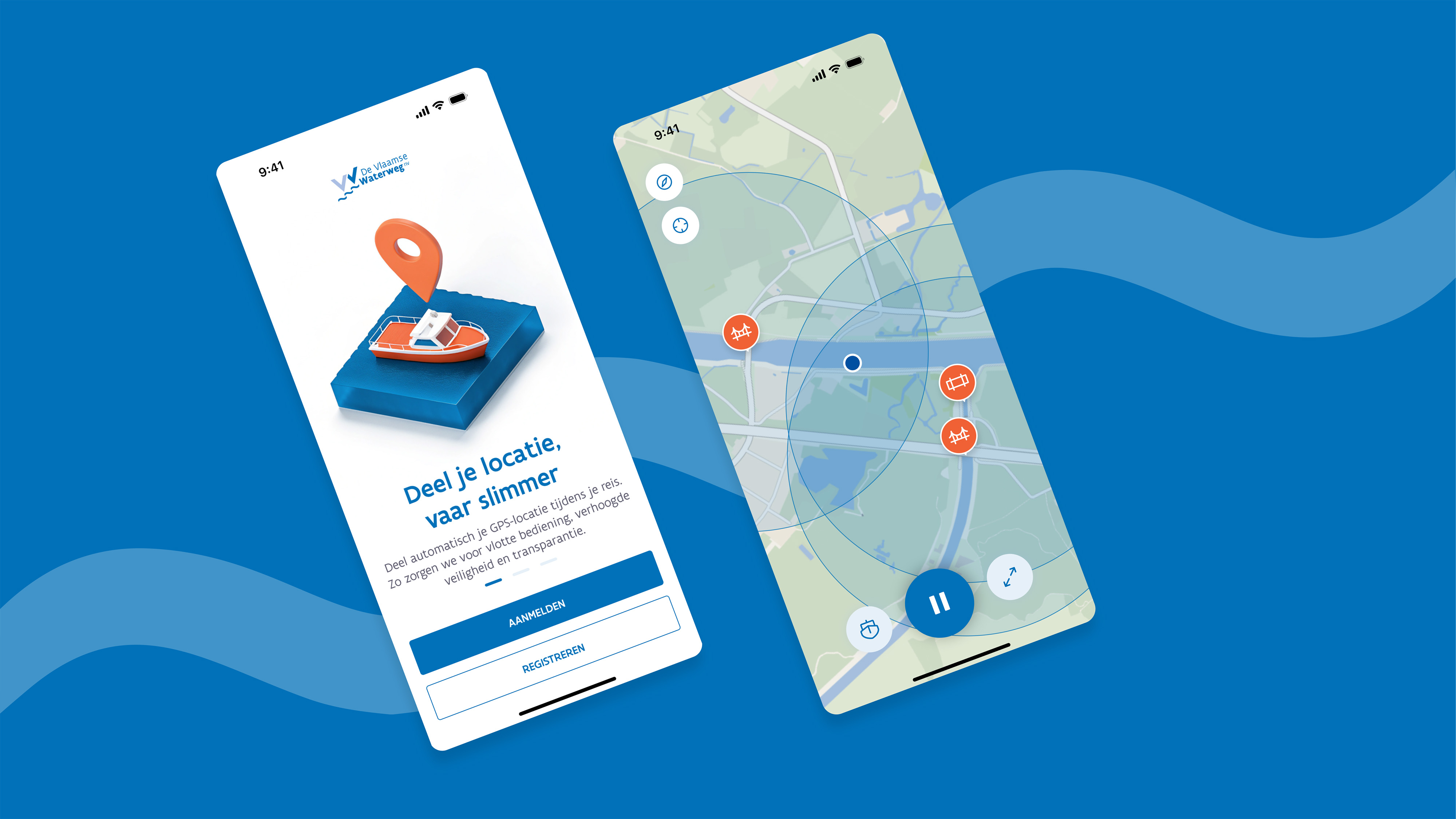
New legislation is changing the way recreational boaters navigate the waterways in Flanders. One of the key requirements is that boaters must share their location while on the water. For 'De Vlaamse Waterweg', this raised an important question. How can boaters meet these new requirements without having to invest in expensive additional hardware? Lemon helped turn this challenge into a practical digital solution. Together, we developed Flanders Boating, a mobile app that combines navigation, location tracking, vessel management and communication with locks in one intuitive experience. The result is a digital companion that puts essential navigation information and safety requirements right at the boater's fingertips.

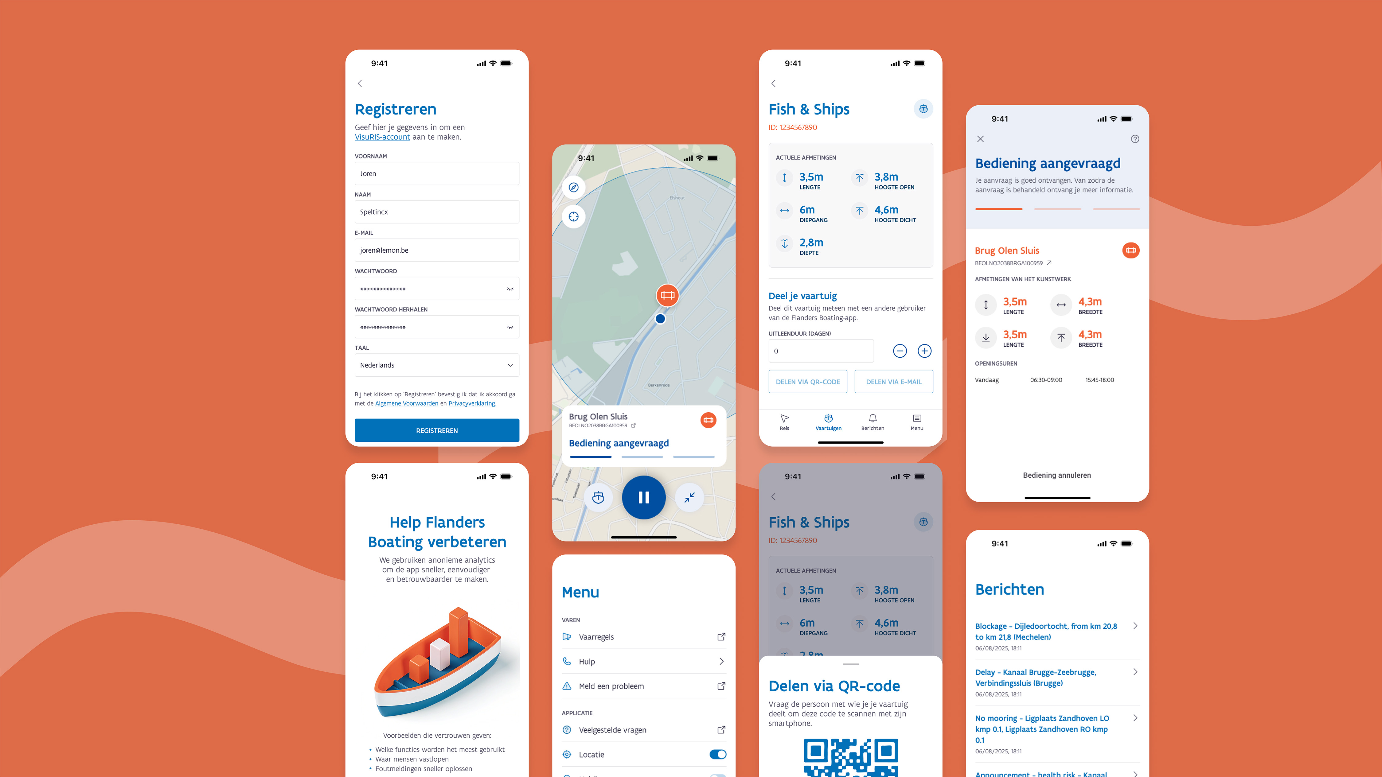

To translate complex regulations and technical requirements into a user-friendly app, we started with a thorough analysisof the users, their context and the different information flows. We explored how recreational boaters prepare for their trips, what information they need while on the water and how different systems and data sources come together. Based on these insights, we designed an intuitive UX and UI that brings navigation, tracking, fleet management and communication with locks together in one clear experience.
We then developed the application in Flutter, with a strong focus on real-time location, background tracking, connectivity on the water and integrations with existing systems such as VisuRIS and EURIS. This allowed us to bring complex technology together in one reliable and user-friendly app.
Smart navigation and location sharing
At the heart of the app is the tracking module, which serves as a full-fledged alternative to costly maritime GPS equipment such as AIS (Automatic Identification System). As soon as the captain starts a trip, their location is shared in real time with VisuRIS. With a single tap, boaters can comply with the legislation without the need for additional hardware investments.
Interactive navigation map and notifications
In addition to tracking, the app provides a clear overview of the surroundings, including critical information such as bridge clearance, water depth and current notifications from the European EURIS network. Boaters can immediately see where their boat can navigate, helping them avoid surprises at bridges or in shallow waters.
Fleet management and smoother lock passages
Users can easily register and manage their boats in the app. Communication with locks has also been fully digitised, allowing users to request passage directly through the app. This lowers the administrative burden and helps ensure smoother traffic flow across the Flemish waterways.


Flanders Boating makes the transition to the new legislation more accessible. Instead of relying on separate maps and costly hardware, recreational boaters now have one central tool for navigation, vessel management and communication. The application is an essential companion for anyone with a boating licence and helps prepare recreational boating in Flanders for a digital future.